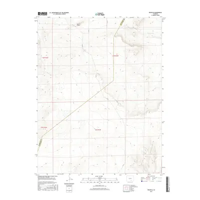
2016 Map of Pryor SE
USGS Topo · Published 2016About this map
The Hogback dominates the northern terrain of this section of Las Animas County, forming a prominent geological spine across the landscape. The survey captures a high-altitude ranching and rangeland environment defined by the diagonal boundary of Huerfano Co Las Animas Co and the drainage of Tejana Arroyo to the northeast. A sparse network of county roads, including Co Rd 211, Co Rd 212, and Co Rd 61, provides the only modern infrastructure through these townships, illustrating the expansive, undeveloped character of this part of southern Colorado. This 2016 survey is an essential record of the region's topography, highlighting the subtle watercourses and ridgelines that dictate the layout of rural access roads and property divisions in a landscape where natural features remain the primary landmarks.
Find a feature on this map
13 named features on this map. Tap any name to fly to it.
Don’t see what you’re looking for? This feature index may not catch every label — zoom into the map to look around manually.
Map Details
Editions of this 2016 Pryor SE Map
This is the sole edition of this map. No revisions or reprints were ever made.
Other maps of this area

1891 · Walsenburg
USGS Topo · 1:125,000

1891 · Spanish Peaks
USGS Topo · 1:125,000

1891 · Apishapa
USGS Topo · 1:125,000

1892 · Elmoro
USGS Topo · 1:125,000

1893 · Spanish Peaks
USGS Topo · 1:125,000

1893 · Apishapa
USGS Topo · 1:125,000

1893 · Elmoro
USGS Topo · 1:125,000

1894 · Walsenburg
USGS Topo · 1:125,000

1895 · Spanish Peaks
USGS Topo · 1:125,000

1897 · Walsenburg
USGS Topo · 1:125,000