
1942 Map of Pt. Conception
USGS Topo · Published 1942About this map
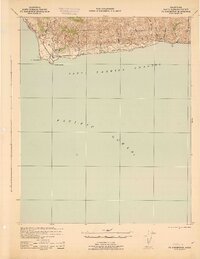
The coastal headlands of Punta De La Concepcion dominate this 1942 tactical survey, illustrating a critical maritime and rail corridor at the height of the Second World War. The topography is defined by the steep canyons and drainage basins of the Nuestra Senora Del Refugio and San Julian land grants, where numerous arroyos such as Arroyo de San Augustin and Canada del Agua Caliente carve paths toward the Santa Barbara Channel.
Find a feature on this map
19 named features on this map. Tap any name to fly to it.
Don’t see what you’re looking for? This feature index may not catch every label — zoom into the map to look around manually.
Map Details
Editions of this 1942 Pt. Conception Map
3 editions found
Other maps of this area

1905 · Guadalupe
USGS Topo · 1:125,000

1905 · Lompoc
USGS Topo · 1:125,000

1942 · Point Arguello
USGS Topo · 1:62,500

1942 · Guadalupe
USGS Topo · 1:125,000

1942 · Lompoc
USGS Topo · 1:125,000

1942 · Lompoc
USGS Topo · 1:62,500

1942 · Gaviota
USGS Topo · 1:62,500

1942 · Los Olivos
USGS Topo · 1:62,500

1943 · Los Olivos
USGS Topo · 1:62,500

1943 · Lompoc
USGS Topo · 1:125,000