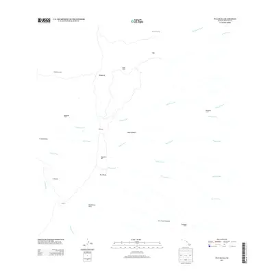
2013 Map of Puaakala
USGS Topo · Published 2013About this map
The high slopes of the Island of Hawai‘i are characterized here by a network of drainage gulches and remote upland stations in the early 21st century. Isolated outposts such as Spring Water Camp, Nauhi Camp, and the Kanakaleonui Cabin are connected by narrow trails and 4WD roads through the high-elevation landscape. This area serves as a critical hydrological zone, containing the Hilo Closed Watershed and the headwaters for several major waterways including the Wailuku River and Hakalau Stream. The topography is marked by notable features like Magnetic Hill and the cinder cone of 'A'ahuwela, while named settlements like Pua‘ākala and Hopuwai provide key reference points for researchers of the island's interior geography and land management history.
Find a feature on this map
25 named features on this map. Tap any name to fly to it.
Don’t see what you’re looking for? This feature index may not catch every label — zoom into the map to look around manually.
Map Details
Editions of this 2013 Puaakala Map
This is the sole edition of this map. No revisions or reprints were ever made.
Other maps of this area

1915 · Honomu
USGS Topo · 1:62,500

1917 · Hilo
USGS Topo · 1:62,500

1930 · Humuula
USGS Topo · 1:62,500

1932 · Hilo
USGS Topo · 1:62,500

1954 · Hawaii North
USGS Topo · 1:250,000

1956 · Puu Oo
USGS Topo · 1:24,000

1956 · Pua Akala
USGS Topo · 1:24,000

1956 · Keanakolu
USGS Topo · 1:24,000

1956 · Upper Piihonua
USGS Topo · 1:24,000

1956 · Mauna Kea
USGS Topo · 1:24,000