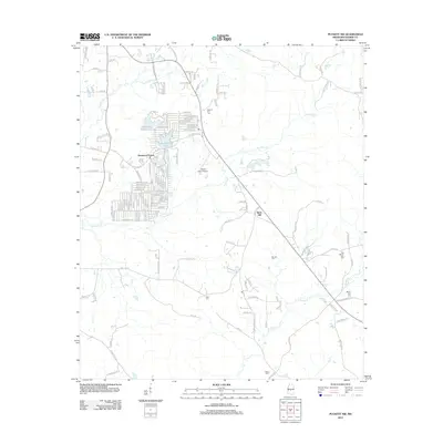
2012 Map of Puckett NW
USGS Topo · Published 2012About this map
Robinhood Lake serves as a central landmark for the residential communities of Robinhood and Sherwood Forest, which define the local landscape along the Richland Cr and Tumbaloo Cr drainage basins. This area of Rankin County is characterized by a high density of ancestral burial grounds, including Hebron Hill Cem, Barnett Cem, and the neighboring Old Mount Zion Cem and Mount Zion Cem. The presence of Mohr Farm Airport and several family-named landmarks like Rock Hill point to a rural-residential character transitioning toward the expanding outskirts of Brandon. Local history and genealogy are well-represented here, as the map meticulously labels dozens of small roads and creek branches, such as Dabbs Cr and Dry Cr, that link these long-standing communities and family estates.
Find a feature on this map
145 named features on this map. Tap any name to fly to it.
Don’t see what you’re looking for? This feature index may not catch every label — zoom into the map to look around manually.
Map Details
Editions of this 2012 Puckett NW Map
This is the sole edition of this map. No revisions or reprints were ever made.
Other maps of this area

1903 · Jackson
USGS Topo · 1:125,000

1905 · Jackson
USGS Topo · 1:48,000

1906 · Florence
USGS Topo · 1:62,500

1908 · Jackson
USGS Topo · 1:62,500

1908 · Florence
USGS Topo · 1:62,500

1922 · Pelahatchee
USGS Topo · 1:48,000

1924 · Pelahatchee
USGS Topo · 1:62,500

1950 · Pelahatchie
USGS Topo · 1:62,500

1952 · Pelahatchie
USGS Topo · 1:62,500

1953 · Meridian
USGS Topo · 1:250,000