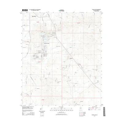
2015 Map of Puckett NW
USGS Topo · Published 2015About this map
The southeastern outskirts of Brandon meet the rural expanses of Rankin and northwestern Smith Counties in this 2015 survey. The landscape is characterized by a transition from suburban residential developments like Sherwood Forest and the residential clusters around Robinhood Lake to the more open, traditional rural communities of Rock Hill. This area is particularly dense with genealogical sites, featuring several family and community burial grounds including Old Mount Zion Cem, Mays Cem, and Pearly Grove Cem.
Find a feature on this map
121 named features on this map. Tap any name to fly to it.
Don’t see what you’re looking for? This feature index may not catch every label — zoom into the map to look around manually.
Map Details
Editions of this 2015 Puckett NW Map
This is the sole edition of this map. No revisions or reprints were ever made.
Other maps of this area

1903 · Jackson
USGS Topo · 1:125,000

1905 · Jackson
USGS Topo · 1:48,000

1906 · Florence
USGS Topo · 1:62,500

1908 · Jackson
USGS Topo · 1:62,500

1908 · Florence
USGS Topo · 1:62,500

1922 · Pelahatchee
USGS Topo · 1:48,000

1924 · Pelahatchee
USGS Topo · 1:62,500

1950 · Pelahatchie
USGS Topo · 1:62,500

1952 · Pelahatchie
USGS Topo · 1:62,500

1953 · Meridian
USGS Topo · 1:250,000