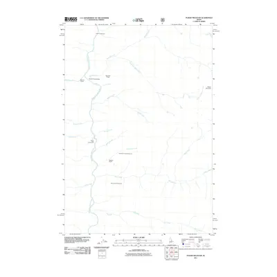
2011 Map of Puddin Mountain
USGS Topo · Published 2011About this map
The Middle Fork Salmon River serves as the primary corridor for travel and recreation in this part of Idaho. Strategic crossing points like Bighorn Bridge, Waterfall Creek Bridge, and Big Creek Bridge facilitate access across the river and its major tributaries, such as Big Creek and Waterfall Creek. These bridges are essential infrastructure for navigating the steep drainages that define the area's geography.
Find a feature on this map
24 named features on this map. Tap any name to fly to it.
Don’t see what you’re looking for? This feature index may not catch every label — zoom into the map to look around manually.
Map Details
Editions of this 2011 Puddin Mountain Map
This is the sole edition of this map. No revisions or reprints were ever made.
Other maps of this area

1930 · Casto
USGS Topo · 1:125,000

1956 · Elk City
USGS Topo · 1:250,000

1957 · Challis
USGS Topo · 1:250,000

1960 · Elk City
USGS Topo · 1:250,000

1960 · Challis
USGS Topo · 1:250,000

1962 · Bear Creek Point
USGS Topo · 1:24,000

1962 · Hoodoo Meadows
USGS Topo · 1:24,000

1962 · Puddin Mtn
USGS Topo · 1:24,000

1962 · Papoose Peak
USGS Topo · 1:24,000

1962 · Aggipah Mtn
USGS Topo · 1:24,000