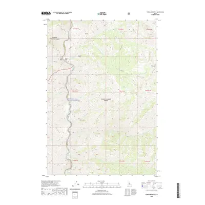
2020 Map of Puddin Mountain
USGS Topo · Published 2020About this map
The Middle Fork Salmon Wild and Scenic River defines the western edge of this wilderness landscape, serving as a primary corridor through the Salmon National Forest and Payette National Forest. This protected waterway is punctuated by features like Jack Creek Rapids and is crossed by essential backcountry infrastructure, including the Waterfall Creek Bridge, Bighorn Bridge, and Big Creek Bridge. The high-elevation terrain is marked by numerous basins containing West Puddin Lake, Plateau Lake, and South Fork Lake. Localized drainage patterns are visible through named tributaries such as Waterfall Cr, Woolard Cr, and Rattlesnake Cr, which descend from ridges like Wilson Mtn. This map provides a detailed look at the drainage networks and river access points in a region preserved for its natural state.
Find a feature on this map
51 named features on this map. Tap any name to fly to it.
Don’t see what you’re looking for? This feature index may not catch every label — zoom into the map to look around manually.
Map Details
Editions of this 2020 Puddin Mountain Map
This is the sole edition of this map. No revisions or reprints were ever made.
Other maps of this area

1930 · Casto
USGS Topo · 1:125,000

1956 · Elk City
USGS Topo · 1:250,000

1957 · Challis
USGS Topo · 1:250,000

1960 · Elk City
USGS Topo · 1:250,000

1960 · Challis
USGS Topo · 1:250,000

1962 · Bear Creek Point
USGS Topo · 1:24,000

1962 · Hoodoo Meadows
USGS Topo · 1:24,000

1962 · Puddin Mtn
USGS Topo · 1:24,000

1962 · Papoose Peak
USGS Topo · 1:24,000

1962 · Aggipah Mtn
USGS Topo · 1:24,000