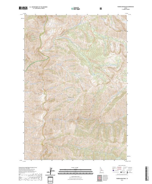
2024 Map of Puddin Mountain
USGS Topo · Published 2024About this map
The Middle Fork Salmon River carves through the heart of this landscape, defining the boundary between the Payette National Forest and the Salmon National Forest. This modern survey reveals the high-altitude terrain within the Frank Church-River of No Return Wilderness, where dramatic elevation changes lead from the river banks up to the Bighorn Crags and the Yellowjacket Mountains. The map traces essential backcountry routes like the Waterfall Trl and Big Creek Trl, which connect various drainage basins including Waterfall Creek and Wilson Creek. Higher elevations are marked by alpine features such as West Puddin Lake, Plateau Lake, and Puddin Mtn. This area remains largely defined by its designation as the Middle Fork Salmon Wild and Scenic River, preserving a primitive environment where the topography itself dictates the few paths of travel.
Find a feature on this map
28 named features on this map. Tap any name to fly to it.
Don’t see what you’re looking for? This feature index may not catch every label — zoom into the map to look around manually.
Map Details
Editions of this 2024 Puddin Mountain Map
This is the sole edition of this map. No revisions or reprints were ever made.
Other maps of this area

1930 · Casto
USGS Topo · 1:125,000

1956 · Elk City
USGS Topo · 1:250,000

1957 · Challis
USGS Topo · 1:250,000

1960 · Elk City
USGS Topo · 1:250,000

1960 · Challis
USGS Topo · 1:250,000

1962 · Bear Creek Point
USGS Topo · 1:24,000

1962 · Hoodoo Meadows
USGS Topo · 1:24,000

1962 · Puddin Mtn
USGS Topo · 1:24,000

1962 · Papoose Peak
USGS Topo · 1:24,000

1962 · Aggipah Mtn
USGS Topo · 1:24,000