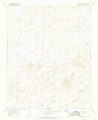
1966 Map of Pueblo Bonito NW
USGS Topo · Published 1969About this map
Kinbeto and the surrounding high desert of San Juan County are captured here during a 1966 field check, revealing a landscape defined by an intricate network of seasonal drainage systems. The terrain is dominated by the broad, meandering paths of Tsun Je Zhin Wash and Ah-shi-sle-pah Wash, which underscore the region's arid character and the vital role of water management in this part of New Mexico. A solitary Well located near Kimbeto Wash serves as a lone marker of human infrastructure in an otherwise vast expanse of open range. The map illustrates the transition between the T. 23 N. and T. 22 N. townships, providing a clear view of the topographic contours and the natural erosion patterns that have shaped the San Juan Basin.
Find a feature on this map
7 named features on this map. Tap any name to fly to it.
Don’t see what you’re looking for? This feature index may not catch every label — zoom into the map to look around manually.
Map Details
Editions of this 1966 Pueblo Bonito NW Map
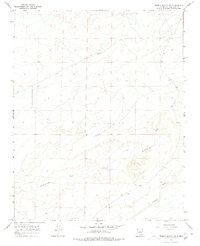
2 editions found
Other maps of this area

1889 · Largo
USGS Topo · 1:250,000

1889 · Chaco
USGS Topo · 1:250,000

1892 · Chaco
USGS Topo · 1:250,000

1895 · Largo
USGS Topo · 1:250,000

1954 · Shiprock
USGS Topo · 1:250,000

1954 · Aztec
USGS Topo · 1:250,000

1958 · Shiprock
USGS Topo · 1:250,000

1958 · Aztec
USGS Topo · 1:250,000

1959 · Shiprock
USGS Topo · 1:250,000

1962 · Aztec
USGS Topo · 1:250,000