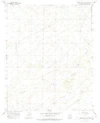
1966 Map of Pueblo Bonito NW
USGS Topo · Published 1978About this map
Ah-Shi-Sle-Pah Wash and Kinbeto Wash cut through this high desert terrain in San Juan County, illustrating the intricate drainage patterns of the San Juan Basin. The landscape is defined by these seasonal watercourses and the broad, open mesas between them. The small settlement of Kinbeto appears as a focal point in the central part of the quadrangle, connected to the wider region by a network of unimproved roads and light-duty trails.
Find a feature on this map
5 named features on this map. Tap any name to fly to it.
Don’t see what you’re looking for? This feature index may not catch every label — zoom into the map to look around manually.
Map Details
Editions of this 1966 Pueblo Bonito NW Map
2 editions found
Other maps of this area

1889 · Largo
USGS Topo · 1:250,000

1889 · Chaco
USGS Topo · 1:250,000

1892 · Chaco
USGS Topo · 1:250,000

1895 · Largo
USGS Topo · 1:250,000

1954 · Shiprock
USGS Topo · 1:250,000

1954 · Aztec
USGS Topo · 1:250,000

1958 · Shiprock
USGS Topo · 1:250,000

1958 · Aztec
USGS Topo · 1:250,000

1959 · Shiprock
USGS Topo · 1:250,000

1962 · Aztec
USGS Topo · 1:250,000