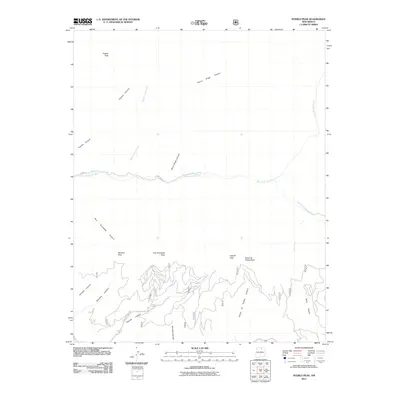
2011 Map of Pueblo Peak
USGS Topo · Published 2011About this map
Pueblo Peak stands as a primary landmark in this high-elevation landscape, where the northern terrain is defined by steep drainages like Frijoles Canyon and Burnt Ridge Canyon. The central portion of the map is dominated by the course of the Rio Pueblo de Taos, which flows westward past the northern reach of Pueblo St. The southern section reveals more complex topography, characterized by a series of named summits and deep-cut canyons. This network includes Ranchos Peak, Palo Encebado Peak, and Capulin Peak, which separate the various watercourses. This 2011 survey highlights a transition from the higher peaks to the more developed southern area near Shadow Mtn Rd, providing a clear view of how geography dictates the placement of infrastructure in the region.
Find a feature on this map
20 named features on this map. Tap any name to fly to it.
Don’t see what you’re looking for? This feature index may not catch every label — zoom into the map to look around manually.
Map Details
Editions of this 2011 Pueblo Peak Map
This is the sole edition of this map. No revisions or reprints were ever made.
Other maps of this area

1954 · Raton
USGS Topo · 1:250,000

1958 · Raton
USGS Topo · 1:250,000

1963 · Wheeler Peak
USGS Topo · 1:24,000

1963 · Eagle Nest
USGS Topo · 1:24,000

1963 · Arroyo Seco
USGS Topo · 1:24,000

1964 · Taos
USGS Topo · 1:24,000

1964 · Ranchos De Taos
USGS Topo · 1:24,000

1965 · Osha Mountain
USGS Topo · 1:24,000

1965 · Palo Flechado Pass
USGS Topo · 1:24,000

1965 · Pueblo Peak
USGS Topo · 1:24,000