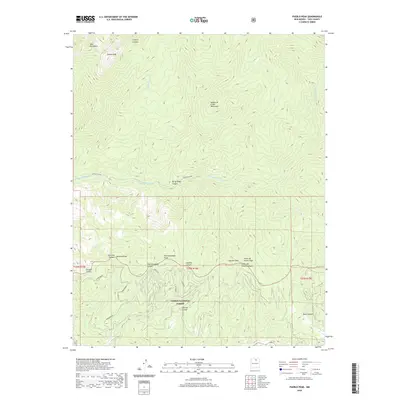
2020 Map of Pueblo Peak
USGS Topo · Published 2020About this map
The Taos Mountains define the northern terrain of this high-altitude landscape, dominated by the prominent summit of Pueblo Peak and the surrounding Sangre de Cristo Mountains. This region within the Carson National Forest is characterized by a complex network of steep drainages, including the Rio Pueblo de Taos and the intricate seasonal flows of Buffalo Grass Cr and Deer Cr. The map reveals a sequence of named peaks and ridges that serve as vital landmarks for understanding local topography and historical navigation across the range.
Find a feature on this map
26 named features on this map. Tap any name to fly to it.
Don’t see what you’re looking for? This feature index may not catch every label — zoom into the map to look around manually.
Map Details
Editions of this 2020 Pueblo Peak Map
This is the sole edition of this map. No revisions or reprints were ever made.
Other maps of this area

1954 · Raton
USGS Topo · 1:250,000

1958 · Raton
USGS Topo · 1:250,000

1963 · Wheeler Peak
USGS Topo · 1:24,000

1963 · Eagle Nest
USGS Topo · 1:24,000

1963 · Arroyo Seco
USGS Topo · 1:24,000

1964 · Taos
USGS Topo · 1:24,000

1964 · Ranchos De Taos
USGS Topo · 1:24,000

1965 · Osha Mountain
USGS Topo · 1:24,000

1965 · Palo Flechado Pass
USGS Topo · 1:24,000

1965 · Pueblo Peak
USGS Topo · 1:24,000