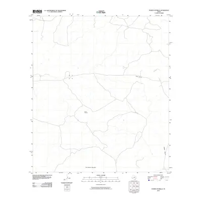
2010 Map of Puerto Potrillo
USGS Topo · Published 2010About this map
San Jacinto Mountain anchors the southern reaches of this Chihuahuan Desert landscape, part of a rugged terrain defined by significant elevation changes and ephemeral drainage patterns. The 2010 survey highlights the prominence of Cerro Boludo and the pass known as Puerto Potrillo, which serves as a natural corridor through the highlands. A vast expanse of Green Valley occupies the eastern portion of the quadrangle, illustrating the stark topographic contrast between the isolated peaks and the broad alluvial basins characteristic of the Trans-Pecos region. This map provides a clear view of the sparse road network and desert landforms in Presidio County during the early 21st century.
Find a feature on this map
4 named features on this map. Tap any name to fly to it.
Don’t see what you’re looking for? This feature index may not catch every label — zoom into the map to look around manually.
Map Details
Editions of this 2010 Puerto Potrillo Map
This is the sole edition of this map. No revisions or reprints were ever made.
Other maps of this area

1896 · Shafter
USGS Topo · 1:125,000

1917 · Tascotal Mesa
USGS Topo · 1:62,500

1918 · Jordan Gap
USGS Topo · 1:62,500

1930 · Jordan Gap
USGS Topo · 1:62,500

1944 · Tascotal Mesa
USGS Topo · 1:62,500

1959 · Emory Peak
USGS Topo · 1:250,000

1959 · Presidio
USGS Topo · 1:250,000

1965 · Presidio
USGS Topo · 1:250,000

1965 · Emory Peak
USGS Topo · 1:250,000

1983 · Plata
USGS Topo · 1:24,000