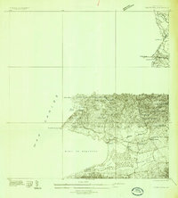
1935 Map of Puerto Real
USGS Topo · Published 1935About this map
Municipio de Cabo Rojo is defined here by its intricate coastal geography and early 20th-century infrastructure. The landscape transitions from the salt-producing flats of Las Salinas and the mangroves around Laguna Rincon to the prominent heights of Cerro Algodon and Cerro Guaniquilla. The American RR of Puerto Rico tracks its way across the terrain, serving as a primary transit vein near the settlement of Boquerón.
Find a feature on this map
37 named features on this map. Tap any name to fly to it.
Don’t see what you’re looking for? This feature index may not catch every label — zoom into the map to look around manually.
Map Details
Editions of this 1935 Puerto Real Map
This is the sole edition of this map. No revisions or reprints were ever made.
Other maps of this area
1937 · San German
USGS Topo · 1:25,000
1937 · Puerto Real
USGS Topo · 1:25,000
1938 · Parguera
USGS Topo · 1:30,000
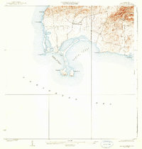
1938 · Cabo Rojo
USGS Topo · 1:30,000
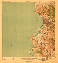
1939 · Mayaguez
USGS Topo · 1:30,000
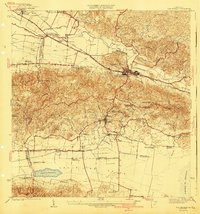
1941 · San German
USGS Topo · 1:30,000
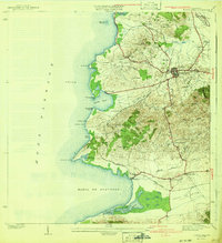
1941 · Puerto Real
USGS Topo · 1:30,000
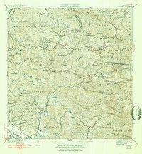
1941 · Rosario
USGS Topo · 1:30,000
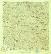
1942 · Rosario
USGS Topo · 1:30,000
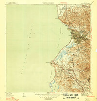
1947 · Mayaguez
USGS Topo · 1:30,000
Featured Places
- Cabo Rojo
- Reparto Vista Verde, Cabo Rojo
- Villa Tortuga, Cabo Rojo
- Sector Souchet, Cabo Rojo
- El Fuego y Las Piedras, Cabo Rojo