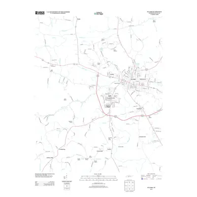
2013 Map of Pulaski
USGS Topo · Published 2013About this map
Pulaski serves as the central hub of this Middle Tennessee landscape, where the waters of Richland Cr and Pleasant Run Cr converge near the historic Town Springs. The town's layout reflects a mix of traditional neighborhoods and newer developments such as Rebel Acres, Green Acres, and Lancelot Acres. To the south and west, the terrain transitions into a series of named hollows and ridges, including Muck Hollow and Kings Mountain, defining a rural character that persists alongside modern infrastructure like Abernathy Field Airport.
Find a feature on this map
195 named features on this map. Tap any name to fly to it.
Don’t see what you’re looking for? This feature index may not catch every label — zoom into the map to look around manually.
Map Details
Editions of this 2013 Pulaski Map
This is the sole edition of this map. No revisions or reprints were ever made.
Other maps of this area

1936 · Milky Way
USGS Topo · 1:24,000

1936 · Aspen Hill
USGS Topo · 1:24,000

1936 · Campbellsville
USGS Topo · 1:24,000

1936 · Brick Church
USGS Topo · 1:24,000

1936 · Pulaski
USGS Topo · 1:24,000

1936 · Bodenham
USGS Topo · 1:24,000

1936 · Appleton
USGS Topo · 1:24,000

1936 · Tarpley
USGS Topo · 1:24,000

1936 · Elkton
USGS Topo · 1:24,000

1946 · Brick Church
USGS Topo · 1:24,000