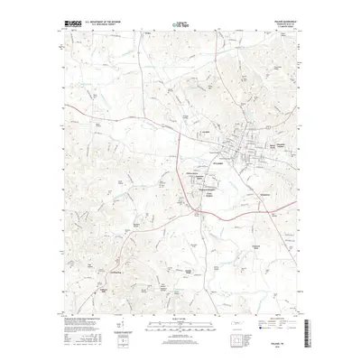
2016 Map of Pulaski
USGS Topo · Published 2016About this map
Pulaski serves as the focal point of this Tennessee landscape, where the academic grounds of Martin Methodist Coll sit near the town center. The settlement patterns extend into residential clusters like Green Acres and Lancelot Acres, while the surrounding rural terrain is defined by a high density of family and community burial sites. From the Mount Moriah Cem in the northwest to the Anthony Hill Cem in the south, these locations provide significant touchstones for local genealogical research.
Find a feature on this map
194 named features on this map. Tap any name to fly to it.
Don’t see what you’re looking for? This feature index may not catch every label — zoom into the map to look around manually.
Map Details
Editions of this 2016 Pulaski Map
This is the sole edition of this map. No revisions or reprints were ever made.
Other maps of this area

1936 · Milky Way
USGS Topo · 1:24,000

1936 · Aspen Hill
USGS Topo · 1:24,000

1936 · Campbellsville
USGS Topo · 1:24,000

1936 · Brick Church
USGS Topo · 1:24,000

1936 · Pulaski
USGS Topo · 1:24,000

1936 · Bodenham
USGS Topo · 1:24,000

1936 · Appleton
USGS Topo · 1:24,000

1936 · Tarpley
USGS Topo · 1:24,000

1936 · Elkton
USGS Topo · 1:24,000

1946 · Brick Church
USGS Topo · 1:24,000