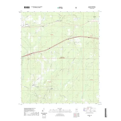
2021 Map of Pulaski
USGS Topo · Published 2021About this map
Bienville National Forest dominates this section of Scott County, where the southern pine belt meets a complex network of small waterways including the Strong River and Tallabogue. Small settlements like Pulaski and Raworth serve as anchors for a landscape defined by its timber and rural character. The map is particularly dense with genealogical sites, showing the location of family-named burial grounds such as Warrens Cem, Searcy Cem, and the Pulaski Independent Methodist Cem.
Find a feature on this map
48 named features on this map. Tap any name to fly to it.
Don’t see what you’re looking for? This feature index may not catch every label — zoom into the map to look around manually.
Map Details
Editions of this 2021 Pulaski Map
This is the sole edition of this map. No revisions or reprints were ever made.
Other maps of this area

1921 · Forest
USGS Topo · 1:48,000

1922 · Forest
USGS Topo · 1:62,500

1922 · Morton
USGS Topo · 1:48,000

1924 · Morton
USGS Topo · 1:62,500

1950 · Forest
USGS Topo · 1:62,500

1951 · Morton
USGS Topo · 1:62,500

1952 · Forest
USGS Topo · 1:62,500

1953 · Meridian
USGS Topo · 1:250,000

1957 · Meridian
USGS Topo · 1:250,000

1965 · Meridian
USGS Topo · 1:250,000