2024 Map of Pulaski
USGS Topo · Published 2024About this map
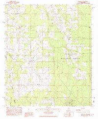
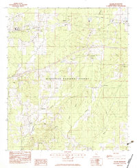
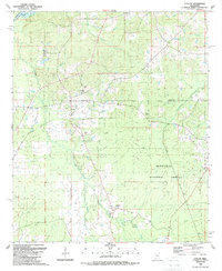
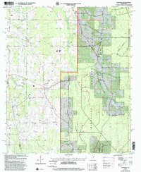
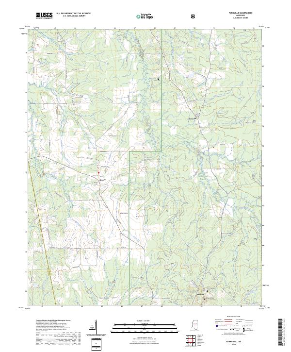
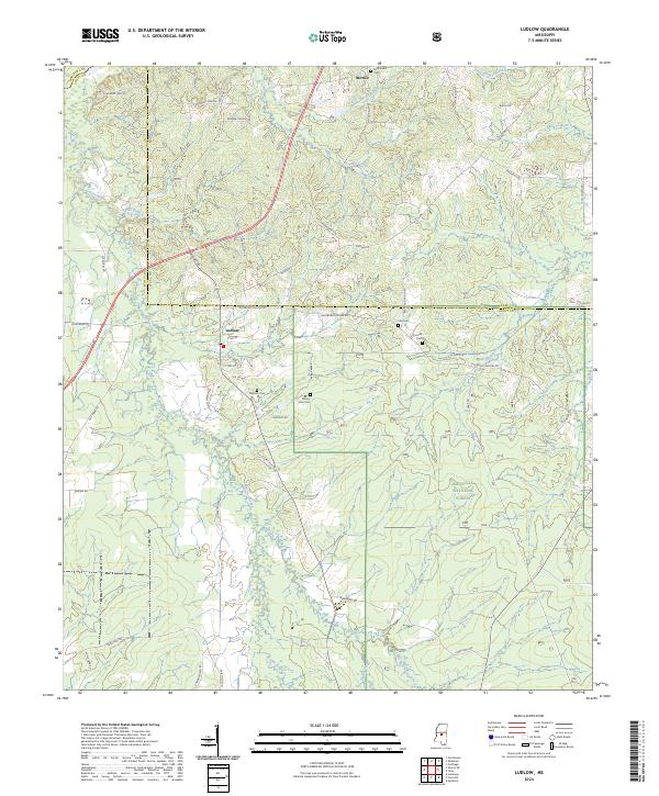
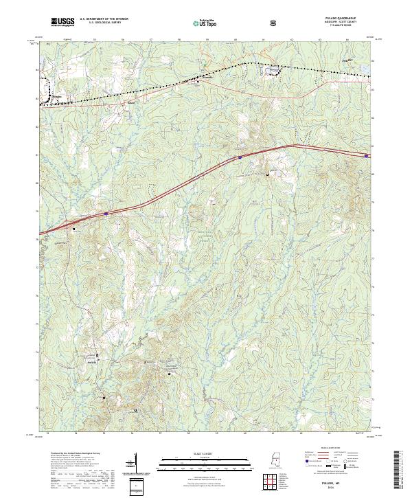
Bienville National Forest dominates the southern landscape of this Scott County survey, where a network of tributary creeks including Strong River and Shockaloo Creek carve through the woodland. The settlement of Pulaski serves as a local focal point, surrounded by small family and church burial grounds like Searcy Cem and Warrens Cem that offer significant value for genealogical research. The northern boundary is defined by the east-west corridor near Morton and the small communities of Kalem and Raworth. This area reflects a traditional rural Mississippi layout, where timberlands and small-scale farming are connected by a web of named local roads such as Blossom Hill Rd and Morton-Marathon Rd. Notable landmarks like Spencer Hill and the Pulaski Independent Methodist Cem provide specific anchors for understanding the historical development and social fabric of these forest-bound communities.
Find a feature on this map
47 named features on this map. Tap any name to fly to it.
Don’t see what you’re looking for? This feature index may not catch every label — zoom into the map to look around manually.
Map Details
Editions of this 2024 Pulaski Map
This is the sole edition of this map. No revisions or reprints were ever made.
Historical Maps of Raworth Through Time
9 maps found