
1960 Map of Pulliam Ranch
USGS Topo · Published 1962About this map
The Nueces River snakes through the center of this landscape, its banks defined by the sprawling holdings of prominent local families. Ranching life in the early 1960s is evidenced by the wide distribution of private stock tanks and windmills, from Palmer Tank in the north to Four Acre Tank near the southern boundary. These water features were essential for maintaining cattle across the dry South Texas brush country, where watercourses like Mustang Creek and Live Oak Creek were often intermittent.
Find a feature on this map
29 named features on this map. Tap any name to fly to it.
Don’t see what you’re looking for? This feature index may not catch every label — zoom into the map to look around manually.
Map Details
Editions of this 1960 Pulliam Ranch Map
This is the sole edition of this map. No revisions or reprints were ever made.
Other maps of this area

1898 · Uvalde
USGS Topo · 1:125,000

1899 · Uvalde
USGS Topo · 1:125,000

1939 · La Pryor
USGS Topo · 1:62,500

1953 · Crystal City
USGS Topo · 1:250,000

1954 · San Antonio
USGS Topo · 1:250,000

1955 · Crystal City
USGS Topo · 1:250,000

1957 · San Antonio
USGS Topo · 1:250,000

1957 · Batesville
USGS Topo · 1:62,500
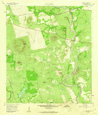
1960 · Hacienda
USGS Topo · 1:24,000
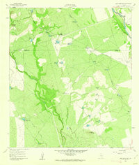
1960 · Sand Mountain
USGS Topo · 1:24,000