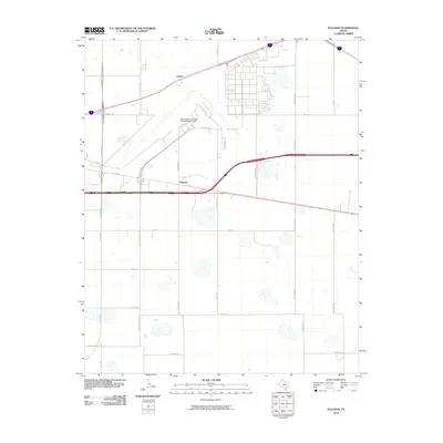
2010 Map of Pullman
USGS Topo · Published 2010About this map
Rick Husband Amarillo International Airport dominates the northern landscape of this Texas Panhandle survey, showing the complex of runways and taxiways near the small settlements of Pullman and Folsom. The infrastructure here reflects a specialized aviation and military legacy, evidenced by names like Radar Rd, Sac Access Rd, and Alert Dr, which point to the strategic importance of the area.
Find a feature on this map
32 named features on this map. Tap any name to fly to it.
Don’t see what you’re looking for? This feature index may not catch every label — zoom into the map to look around manually.
Map Details
Editions of this 2010 Pullman Map
This is the sole edition of this map. No revisions or reprints were ever made.
Other maps of this area

1934 · Cliffside
USGS Topo · 1:62,500

1936 · Cliffside
USGS Topo · 1:62,500

1953 · Pleasant Valley
USGS Topo · 1:24,000

1953 · Mayer
USGS Topo · 1:24,000

1953 · Sevenmile Basin
USGS Topo · 1:24,000

1954 · Amarillo
USGS Topo · 1:250,000

1956 · Amarillo East
USGS Topo · 1:24,000

1956 · Washburn
USGS Topo · 1:24,000

1956 · Thomas Ranch
USGS Topo · 1:24,000

1956 · Pullman
USGS Topo · 1:24,000