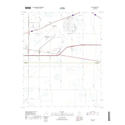
2019 Map of Pullman
USGS Topo · Published 2019About this map
The eastern edges of Amarillo and the expansive grounds of the Rick Husband Amarillo International Airport dominate this High Plains landscape. The map captures a transition from the urban grid of the city into the surrounding agricultural and industrial spaces of Potter and Randall counties. Local history is etched into the road names and small communities like Folsom and Pullman, which sit along the transportation corridors that have long defined the region's growth.
Find a feature on this map
69 named features on this map. Tap any name to fly to it.
Don’t see what you’re looking for? This feature index may not catch every label — zoom into the map to look around manually.
Map Details
Editions of this 2019 Pullman Map
This is the sole edition of this map. No revisions or reprints were ever made.
Other maps of this area

1934 · Cliffside
USGS Topo · 1:62,500

1936 · Cliffside
USGS Topo · 1:62,500

1953 · Pleasant Valley
USGS Topo · 1:24,000

1953 · Mayer
USGS Topo · 1:24,000

1953 · Sevenmile Basin
USGS Topo · 1:24,000

1954 · Amarillo
USGS Topo · 1:250,000

1956 · Amarillo East
USGS Topo · 1:24,000

1956 · Washburn
USGS Topo · 1:24,000

1956 · Thomas Ranch
USGS Topo · 1:24,000

1956 · Pullman
USGS Topo · 1:24,000