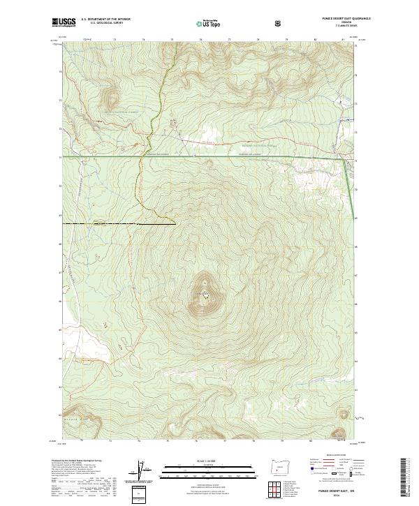
2024 Map of Pumice Desert East
USGS Topo · Published 2024About this map
The Mount Thielsen Wilderness occupies the northern expanse of this survey, where the high-altitude volcanic landscape transitions into the heavily forested tracts of the Umpqua National Forest and Winema National Forest. The Pacific Crest National Scenic Trl winds through the central and western sections, tracing a path through the pumice-strewn terrain shaped by the eruptive history of nearby peaks. Central to this landscape is Timber Crater, a prominent shield volcano that stands as a landmark for backcountry travelers.
Find a feature on this map
23 named features on this map. Tap any name to fly to it.
Don’t see what you’re looking for? This feature index may not catch every label — zoom into the map to look around manually.
Map Details
Editions of this 2024 Pumice Desert East Map
This is the sole edition of this map. No revisions or reprints were ever made.
Other maps of this area

1889 · Klamath
USGS Topo · 1:250,000

1891 · Ashland
USGS Topo · 1:250,000

1893 · Ashland
USGS Topo · 1:250,000

1894 · Klamath
USGS Topo · 1:250,000

1897 · Ashland
USGS Topo · 1:250,000

1917 · Diamond Lake
USGS Topo · 1:125,000

1935 · Chemult
USGS Topo · 1:96,000

1941 · Chemult
USGS Topo · 1:125,000

1955 · Crescent
USGS Topo · 1:250,000

1955 · Klamath Falls
USGS Topo · 1:250,000