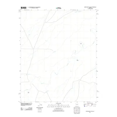
2011 Map of Pump Ranch Tank
USGS Topo · Published 2011About this map
Clear Creek carves a winding path through this high-desert landscape in Coconino County, serving as the primary drainage for a region defined by its reliance on managed water sources. The distribution of scattered water improvements such as Pump Ranch Tank, Sims Tank, and Carpenter Tank reflects the area's pastoral history and the necessity of sustaining livestock in arid conditions. This 2011 survey captures the geography before significant modern development, emphasizing the prominent natural landmarks that define local navigation. High points like Relic Point and the dramatic incision of Pablo Canyon provide distinct vertical relief against the broad drainage of Sand Draw. To the north, the Moonlight Bay Reservoir represents a more substantial effort at water catchment, standing in contrast to the smaller earthen tanks that dot the surrounding ranchlands.
Find a feature on this map
9 named features on this map. Tap any name to fly to it.
Don’t see what you’re looking for? This feature index may not catch every label — zoom into the map to look around manually.
Map Details
Editions of this 2011 Pump Ranch Tank Map
This is the sole edition of this map. No revisions or reprints were ever made.
Other maps of this area

1886 · Holbrook
USGS Topo · 1:250,000

1893 · Holbrook
USGS Topo · 1:250,000

1954 · Holbrook
USGS Topo · 1:250,000

1955 · Sunset Knoll 2 SW
USGS Topo · 1:24,000
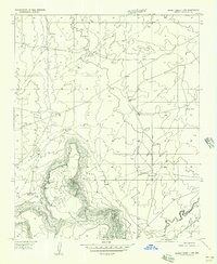
1955 · Sunset Knoll 2 NW
USGS Topo · 1:24,000

1955 · Sunset Knoll 2 SE
USGS Topo · 1:24,000

1955 · Sunset Pass
USGS Topo · 1:62,500

1957 · Holbrook
USGS Topo · 1:250,000

1958 · Holbrook
USGS Topo · 1:250,000

1960 · Holbrook
USGS Topo · 1:250,000