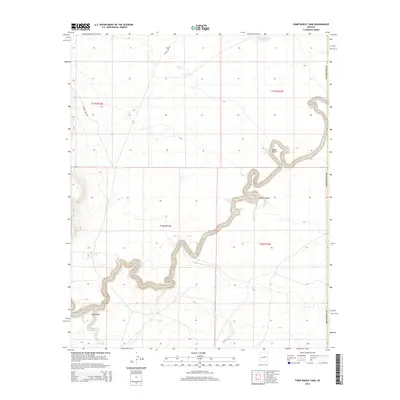
2014 Map of Pump Ranch Tank
USGS Topo · Published 2014About this map
Clear Cr cuts a deep, winding path through this high desert portion of Coconino County, creating a sharp contrast against the surrounding plateaus. This 2014 survey reveals a landscape defined by water management and ranching infrastructure, where artificial catchments like Moonlight Bay Reservoir, Sims Tank, and Pump Ranch Tank are essential for supporting life in an otherwise arid environment. The terrain is marked by significant vertical relief, most notably at Relic Point and within the steep walls of Pablo Canyon.
Find a feature on this map
14 named features on this map. Tap any name to fly to it.
Don’t see what you’re looking for? This feature index may not catch every label — zoom into the map to look around manually.
Map Details
Editions of this 2014 Pump Ranch Tank Map
This is the sole edition of this map. No revisions or reprints were ever made.
Other maps of this area

1886 · Holbrook
USGS Topo · 1:250,000

1893 · Holbrook
USGS Topo · 1:250,000

1954 · Holbrook
USGS Topo · 1:250,000

1955 · Sunset Knoll 2 SW
USGS Topo · 1:24,000
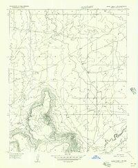
1955 · Sunset Knoll 2 NW
USGS Topo · 1:24,000

1955 · Sunset Knoll 2 SE
USGS Topo · 1:24,000

1955 · Sunset Pass
USGS Topo · 1:62,500

1957 · Holbrook
USGS Topo · 1:250,000

1958 · Holbrook
USGS Topo · 1:250,000

1960 · Holbrook
USGS Topo · 1:250,000