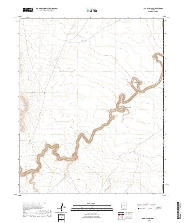
2021 Map of Pump Ranch Tank
USGS Topo · Published 2021About this map
Pump Ranch Tank and Sims Tank define the water management landscape of this high-altitude region in eastern Arizona. The terrain is dramatically bisected by the deep, winding channel of Clear Cr, which carves through the earth toward the north and east, notably passing through the reaches of Pablo Canyon. To the west, the volcanic silhouette of East Sunset Mtn rises above the surrounding plateau, providing a stark topographical anchor against the relatively level rangeland. This modern survey illustrates the persistent importance of named tanks and natural drainage systems like Sand Draw in a landscape where water is the primary architect of land use. Significant landmarks such as Relic Point overlook the canyon floor, marking a topography that remains largely undeveloped and defined by its natural water features and prominent mountain peaks.
Find a feature on this map
12 named features on this map. Tap any name to fly to it.
Don’t see what you’re looking for? This feature index may not catch every label — zoom into the map to look around manually.
Map Details
Editions of this 2021 Pump Ranch Tank Map
This is the sole edition of this map. No revisions or reprints were ever made.
Other maps of this area

1886 · Holbrook
USGS Topo · 1:250,000

1893 · Holbrook
USGS Topo · 1:250,000

1954 · Holbrook
USGS Topo · 1:250,000

1955 · Sunset Knoll 2 SW
USGS Topo · 1:24,000
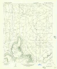
1955 · Sunset Knoll 2 NW
USGS Topo · 1:24,000

1955 · Sunset Knoll 2 SE
USGS Topo · 1:24,000

1955 · Sunset Pass
USGS Topo · 1:62,500

1957 · Holbrook
USGS Topo · 1:250,000

1958 · Holbrook
USGS Topo · 1:250,000

1960 · Holbrook
USGS Topo · 1:250,000