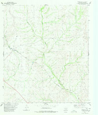
1980 Map of Pumpville
USGS Topo · Published 1980About this map
Pumpville serves as the focal point of this arid Val Verde County landscape, situated along the Southern Pacific railroad line. The map captures the specialized infrastructure of this high-desert transit corridor, where the rails traverse a network of ephemeral drainage systems including Osman Draw, Little Osman Draw, and the winding Antonio Creek.
Find a feature on this map
9 named features on this map. Tap any name to fly to it.
Don’t see what you’re looking for? This feature index may not catch every label — zoom into the map to look around manually.
Map Details
Editions of this 1980 Pumpville Map
This is the sole edition of this map. No revisions or reprints were ever made.
Other maps of this area

1943 · Malvado
USGS Topo · 1:62,500

1943 · Langtry
USGS Topo · 1:62,500

1944 · Malvado
USGS Topo · 1:62,500

1954 · Sonora
USGS Topo · 1:250,000

1958 · Sonora
USGS Topo · 1:250,000

1958 · Del Rio
USGS Topo · 1:250,000

1964 · Del Rio
USGS Topo · 1:250,000

1970 · Little Fielder Draw
USGS Topo · 1:24,000

1973 · Langtry
USGS Topo · 1:24,000
1973 · Harkell Canyon
USGS Topo · 1:24,000