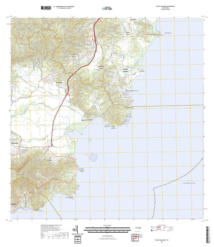
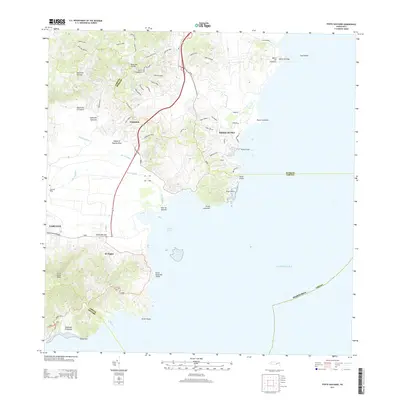
2024 Map of Punta Guayanes
USGS Topo · Published 2024About this map
Valle de Yabucoa dominates the southwestern portion of this coastal sheet, where the Río Guayanés and Río del Ingenio converge toward the Caribbean Sea. The urban center of Yabucoa anchors the interior, serving as the gateway to the southern coast and the higher elevations of Cerro Santa Elena. Along the shoreline, the landscape shifts from the industrial and maritime focus of Puerto Yabucoa to the developed residential and resort character of Palmas del Mar in the northeast.
Find a feature on this map
40 named features on this map. Tap any name to fly to it.
Don’t see what you’re looking for? This feature index may not catch every label — zoom into the map to look around manually.
Map Details
Editions of this 2024 Punta Guayanes Map
This is the sole edition of this map. No revisions or reprints were ever made.
Historical Maps of Palladio Through Time
9 maps found
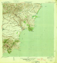
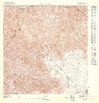
1946 Punta Guayanes
Yabucoa Municipio, PR
1947 Punta Guayanes NO
Yabucoa Municipio, PR
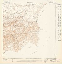
1947 Punta Guayanes SO
Yabucoa Municipio, PR
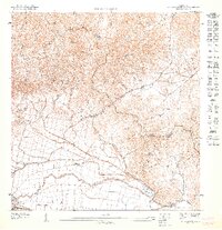
1947 Yabucoa NE
Yabucoa Municipio, PR

1952 Punta Guayanes
Yabucoa Municipio, PR
1960 Punta Guayanes
Yabucoa Municipio, PR
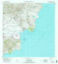
2013 Punta Guayanes
Yabucoa Municipio, PR
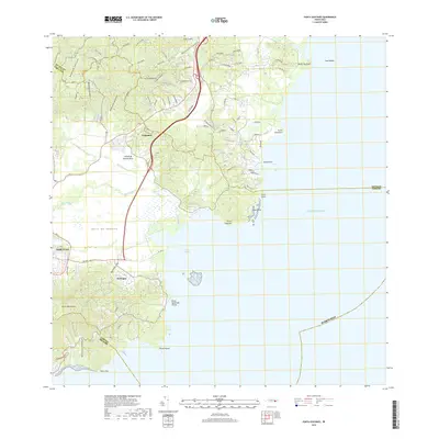
2018 Punta Guayanes
Yabucoa Municipio, PR
2024 Punta Guayanes
Yabucoa Municipio, PR
Featured Locations
- Palladio, Humacao
- Urbanización Arboleda, Humacao
- Mar y Palmas, Humacao
- Sector El Cocal, Yabucoa
- Sector Los Colones, Yabucoa