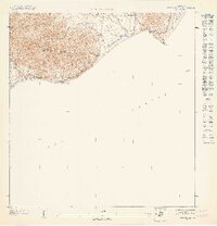
1947 Map of Punta Tuna NE
USGS Topo · Published 1947About this map
The Sierra de Guardarraya dominates the coastal landscape of southeast Puerto Rico in this 1940s-era topographical study. The terrain drops sharply from these heights toward the Mar Caribe, meeting the sea at the prominent Cabo Mala Pascua and the lighthouse at Pta Tuna, labeled simply as Faro. This survey captures the rural character of the region before significant modern development, showing the winding course of the Río Maunabo as it flows toward the coast near Puerto Maunabo. The boundary between the Municipio de Maunabo and Municipio de Patillas is traced along the ridgelines, illustrating how the natural topography dictated political divisions. Smaller watercourses like Quebrada Arenas and Quebrada Mameyes drain the northern slopes, providing a detailed look at the island's hydrography during this period.
Find a feature on this map
10 named features on this map. Tap any name to fly to it.
Don’t see what you’re looking for? This feature index may not catch every label — zoom into the map to look around manually.
Map Details
Editions of this 1947 Punta Tuna NE Map
This is the sole edition of this map. No revisions or reprints were ever made.
Other maps of this area

1945 · Punta Tuna
USGS Topo · 1:30,000

1946 · Punta Guayanes
USGS Topo · 1:30,000

1946 · Yabucoa
USGS Topo · 1:30,000

1947 · Yabucoa SO
USGS Topo · 1:10,000
1947 · Punta Tuna NO
USGS Topo · 1:10,000
1947 · Yabucoa SE
USGS Topo · 1:10,000
1947 · Punta Guayanes SO
USGS Topo · 1:10,000
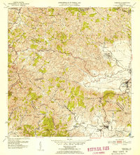
1952 · Yabucoa
USGS Topo · 1:30,000
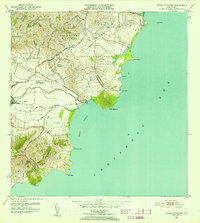
1952 · Punta Guayanes
USGS Topo · 1:30,000
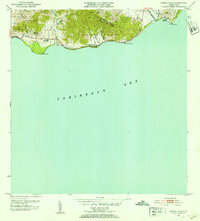
1952 · Punta Tuna
USGS Topo · 1:30,000