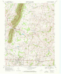
1970 Map of Purcellville
USGS Topo · Published 1972About this map
Short Hill Mountain dominates the western skyline of this Loudoun County landscape, where the agricultural patterns of the Piedmont meet the rising Blue Ridge foothills. In the early 1970s, the area retained its rural character even as Purcellville and Hamilton began to show signs of modernization, including the expansion of Loudoun Valley High Sch and the development of the Loudoun Country Club. The map documents a transition in transportation, showing the Old Railroad Grade passing through Hamilton Station and Ivandale, marking the path of the former Washington and Old Dominion Railway.
Find a feature on this map
35 named features on this map. Tap any name to fly to it.
Don’t see what you’re looking for? This feature index may not catch every label — zoom into the map to look around manually.
Map Details
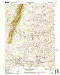
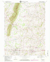
Editions of this 1970 Purcellville Map
3 editions found
Other maps of this area

1884 · Harpers Ferry
USGS Topo · 1:125,000

1891 · Harpers Ferry
USGS Topo · 1:125,000

1893 · Harpers Ferry
USGS Topo · 1:125,000

1908 · Middletown
USGS Topo · 1:48,000

1910 · Antietam
USGS Topo · 1:62,500

1914 · Martinsburg
USGS Topo · 1:48,000

1916 · Martinsburg
USGS Topo · 1:62,500

1916 · Berryville
USGS Topo · 1:62,500

1939 · Berryville
USGS Topo · 1:48,000

1943 · Bluemont
USGS Topo · 1:24,000