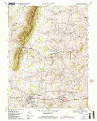
1970 Map of Purcellville
USGS Topo · Published 1984About this map
Short Hill Mountain dominates the western horizon of this Loudoun County landscape, overlooking a series of agricultural and residential hubs including Purcellville, Hamilton, and Hillsboro. The 1970 survey, with later revisions in the 1980s, documents a community centered around local institutions like Loudoun Valley High Sch and Purcellville Middle Sch. A network of country churches, such as Ketoctin Ch and Asbury Ch, are scattered among the drainages of the North Fork Catoctin Creek and South Fork Catoctin Creek. The map captures the region's transition as old settlements like Wheatland and Morrisonville remained focal points for rural life while newer developments began to emerge around the rail corridors near Hamilton Station. This detailed topographical study provides a precise record of property boundaries, small cemeteries, and localized landmarks like the Lookout Tower during a period of steady growth.
Find a feature on this map
34 named features on this map. Tap any name to fly to it.
Don’t see what you’re looking for? This feature index may not catch every label — zoom into the map to look around manually.
Map Details
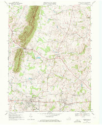
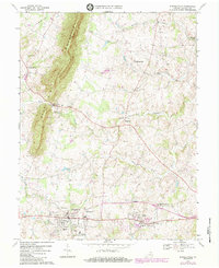
Editions of this 1970 Purcellville Map
3 editions found
Other maps of this area

1884 · Harpers Ferry
USGS Topo · 1:125,000

1891 · Harpers Ferry
USGS Topo · 1:125,000

1893 · Harpers Ferry
USGS Topo · 1:125,000

1908 · Middletown
USGS Topo · 1:48,000

1910 · Antietam
USGS Topo · 1:62,500

1914 · Martinsburg
USGS Topo · 1:48,000

1916 · Martinsburg
USGS Topo · 1:62,500

1916 · Berryville
USGS Topo · 1:62,500

1939 · Berryville
USGS Topo · 1:48,000

1943 · Bluemont
USGS Topo · 1:24,000