
1950 Map of Puryear
USGS Topo · Published 1954About this map
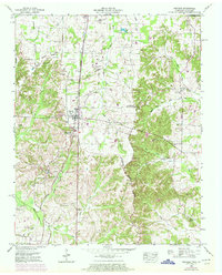
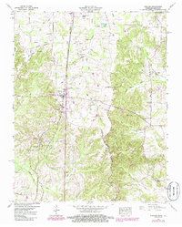
Puryear serves as the primary rail-side hub of this Henry County landscape, situated along the Nashville Chattanooga and St Louis railroad. The 1950 field examination captures a rural community structured around family-named cemeteries and crossroads, such as the village of Conyersville and the Foundry Hill landmark. The terrain is defined by the Valley Divide, which separates the drainage systems of the East Fork Clarks River and the Blood River. Genealogists will find an exceptional density of family burial grounds, including the Hendrix Cem, Bradley Cem, and Crawford Cem, scattered among the small farms and woodlots. Educational and spiritual life is anchored by institutions like the Puryear School and Union Grove Church, while the presence of Spinks Spur and several sets of Ruins suggest the shifting footprint of local industry and transport at mid-century.
Find a feature on this map
50 named features on this map. Tap any name to fly to it.
Don’t see what you’re looking for? This feature index may not catch every label — zoom into the map to look around manually.
Map Details
Editions of this 1950 Puryear Map
3 editions found
Other maps of this area

1936 · Conyersville
USGS Topo · 1:24,000

1936 · Buchanan
USGS Topo · 1:24,000

1936 · Hazel
USGS Topo · 1:24,000

1936 · New Concord
USGS Topo · 1:24,000

1936 · Crossland
USGS Topo · 1:24,000

1936 · Lynn Grove
USGS Topo · 1:24,000

1936 · Paris
USGS Topo · 1:24,000

1936 · Springville
USGS Topo · 1:24,000

1938 · Springville
USGS Topo · 1:24,000

1942 · New Concord
USGS Topo · 1:24,000