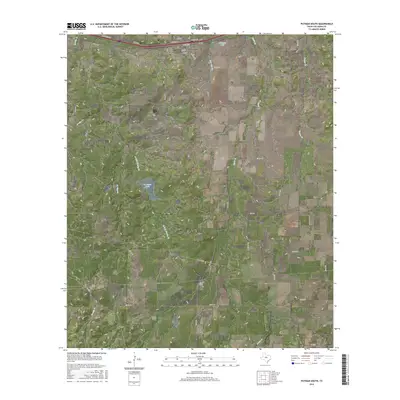
2016 Map of Putnam South
USGS Topo · Published 2016About this map
Putnam sits at the northern edge of this Callahan County landscape, positioned along the historical transit corridor of Interstate 20. The town's grid is clearly defined by streets such as Rusk St, Travis St, and Ash St, reflecting a traditional Texas settlement pattern where local life centered around the frontage roads. To the southeast, the small community of Atwell provides a secondary focal point for the region's rural residences. The terrain is characterized by a series of north-south drainage systems, including Brushy Cr, Battle Cr, and Live Oak Cr, which feed local water bodies like Putnam Lake and La Reata Lake. A dense network of county roads, such as Co Rd 484 and Co Rd 423, connects the dispersed farmsteads and ranches that define this central Texas ranching country.
Find a feature on this map
37 named features on this map. Tap any name to fly to it.
Don’t see what you’re looking for? This feature index may not catch every label — zoom into the map to look around manually.
Map Details
Editions of this 2016 Putnam South Map
This is the sole edition of this map. No revisions or reprints were ever made.
Other maps of this area

1931 · Baird
USGS Topo · 1:125,000

1932 · Baird
USGS Topo · 1:125,000

1954 · Abilene
USGS Topo · 1:250,000

1958 · Abilene
USGS Topo · 1:250,000

1966 · Scranton
USGS Topo · 1:24,000

1966 · Putnam South
USGS Topo · 1:24,000
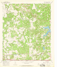
1966 · Bernie Lake
USGS Topo · 1:24,000

1966 · Admiral
USGS Topo · 1:24,000
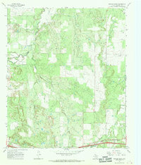
1966 · Putnam North
USGS Topo · 1:24,000
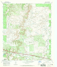
1966 · Jayell
USGS Topo · 1:24,000