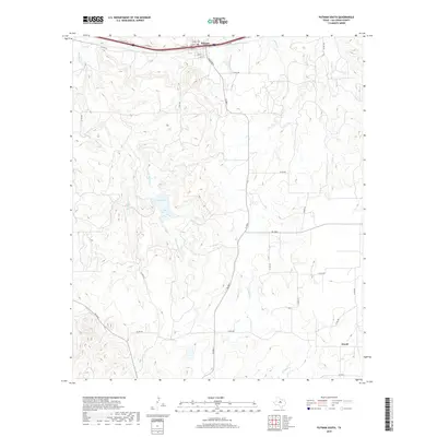
2019 Map of Putnam South
USGS Topo · Published 2019About this map
Putnam serves as the northern anchor for this portion of Callahan County, defined by a grid of streets including Rusk St, Travis St, and Pine St situated along the Interstate 20 corridor. The landscape south of town transitions into a network of drainages and seasonal water bodies, most notably the central La Reata Lake. The southern portion of the quadrangle is marked by the small settlement of Atwell, connected to the surrounding countryside by a web of county roads and farm-to-market routes like FM 880 S.
Find a feature on this map
37 named features on this map. Tap any name to fly to it.
Don’t see what you’re looking for? This feature index may not catch every label — zoom into the map to look around manually.
Map Details
Editions of this 2019 Putnam South Map
This is the sole edition of this map. No revisions or reprints were ever made.
Other maps of this area

1931 · Baird
USGS Topo · 1:125,000

1932 · Baird
USGS Topo · 1:125,000

1954 · Abilene
USGS Topo · 1:250,000

1958 · Abilene
USGS Topo · 1:250,000

1966 · Scranton
USGS Topo · 1:24,000

1966 · Putnam South
USGS Topo · 1:24,000
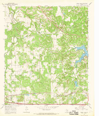
1966 · Bernie Lake
USGS Topo · 1:24,000

1966 · Admiral
USGS Topo · 1:24,000
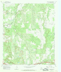
1966 · Putnam North
USGS Topo · 1:24,000
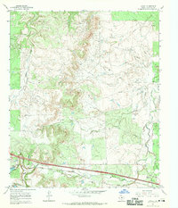
1966 · Jayell
USGS Topo · 1:24,000