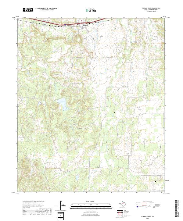
2022 Map of Putnam South
USGS Topo · Published 2022About this map
The community of Putnam anchors the northern edge of this Callahan County landscape, situated along the major east-west corridor of Interstate 20. The town's grid is clearly defined by historic street names like Rusk St, Pine St, and Travis St, with the Putnam Cem located just to the west. Moving south into the rural ranch land, the terrain is shaped by the drainage systems of Brushy Cr, its E Fork Brushy Cr, and Battle Cr, which flow through a topography punctuated by small water bodies such as La Reata Lake and Putnam Lake.
Find a feature on this map
37 named features on this map. Tap any name to fly to it.
Don’t see what you’re looking for? This feature index may not catch every label — zoom into the map to look around manually.
Map Details
Editions of this 2022 Putnam South Map
This is the sole edition of this map. No revisions or reprints were ever made.
Other maps of this area

1931 · Baird
USGS Topo · 1:125,000

1932 · Baird
USGS Topo · 1:125,000

1954 · Abilene
USGS Topo · 1:250,000

1958 · Abilene
USGS Topo · 1:250,000

1966 · Scranton
USGS Topo · 1:24,000

1966 · Putnam South
USGS Topo · 1:24,000
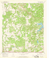
1966 · Bernie Lake
USGS Topo · 1:24,000

1966 · Admiral
USGS Topo · 1:24,000
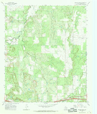
1966 · Putnam North
USGS Topo · 1:24,000
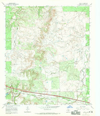
1966 · Jayell
USGS Topo · 1:24,000