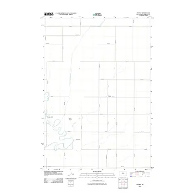
2012 Map of Putney
USGS Topo · Published 2012About this map
Putney and the surrounding township appear as a quintessential landscape of the Glacial Lake Dakota plain, defined by an incredibly precise grid of section-line roads and drainage infrastructure. This area of Brown County is shaped by the meandering course of the James River, which winds through the western portion of the map near Tacoma Park. The river's low-gradient flow is contrasted by the engineered straightness of the Crow Creek Drainage Ditch, reflecting a century of water management in this agricultural heartland.
Find a feature on this map
23 named features on this map. Tap any name to fly to it.
Don’t see what you’re looking for? This feature index may not catch every label — zoom into the map to look around manually.
Map Details
Editions of this 2012 Putney Map
This is the sole edition of this map. No revisions or reprints were ever made.
Other maps of this area

1894 · Columbia
USGS Topo · 1:62,500

1895 · Aberdeen
USGS Topo · 1:125,000

1896 · Columbia
USGS Topo · 1:125,000

1952 · Huffton
USGS Topo · 1:24,000

1952 · Columbia
USGS Topo · 1:24,000

1952 · Columbia NE
USGS Topo · 1:24,000

1952 · Putney
USGS Topo · 1:24,000

1954 · Bath
USGS Topo · 1:24,000

1954 · Groton
USGS Topo · 1:24,000

1954 · James
USGS Topo · 1:24,000