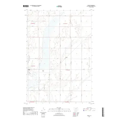
2017 Map of Putney
USGS Topo · Published 2017About this map
Putney and Tacoma Park define the modest settlement pattern of this Brown County landscape, where the agricultural grid meets the hydrological complexity of the Glacial Lake Dakota bed. The western edge of the map is dominated by the meandering course of the James River, while the center is occupied by the expansive Putney Slough. This wetland complex, combined with the Crow Cr Drainage Ditch, illustrates a long-standing regional effort to manage surface water for prairie farming. The map details a dense network of section-line roads, such as 127th St and 122nd St, which partition the township into precise blocks. In the southwest, Tacoma Park is uniquely circumnavigated by Tacoma Loop, reflecting its role as a local gathering point near the river's banks.
Find a feature on this map
23 named features on this map. Tap any name to fly to it.
Don’t see what you’re looking for? This feature index may not catch every label — zoom into the map to look around manually.
Map Details
Editions of this 2017 Putney Map
This is the sole edition of this map. No revisions or reprints were ever made.
Other maps of this area

1894 · Columbia
USGS Topo · 1:62,500

1895 · Aberdeen
USGS Topo · 1:125,000

1896 · Columbia
USGS Topo · 1:125,000

1952 · Huffton
USGS Topo · 1:24,000

1952 · Columbia
USGS Topo · 1:24,000

1952 · Columbia NE
USGS Topo · 1:24,000

1952 · Putney
USGS Topo · 1:24,000

1954 · Bath
USGS Topo · 1:24,000

1954 · Groton
USGS Topo · 1:24,000

1954 · James
USGS Topo · 1:24,000