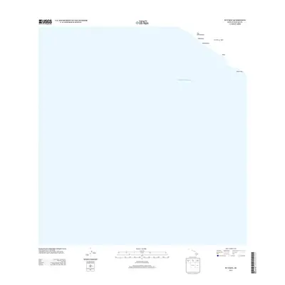
2013 Map of Puu Kahakahakea
USGS Topo · Published 2013About this map
The Pacific Ocean coastline of Hawaiʻi County is the focal point of this coastal survey, where the terrestrial landscape meets the sea at the island's southeastern edge. A prominent historical feature of the terrain is the Lava Flow of 1887, which marks the volcanic activity that has shaped this shoreline over the centuries. Significant coastal landmarks such as Puu Kahakahakea and Hālīpālala provide a look at the topographical high points along this stretch of the coast. The shoreline is further identified by local features including Kākio, Kahakahakea, and Kaimu'uala, illustrating the sparse but named points that define this specific maritime boundary.
Find a feature on this map
7 named features on this map. Tap any name to fly to it.
Don’t see what you’re looking for? This feature index may not catch every label — zoom into the map to look around manually.
Map Details
Editions of this 2013 Puu Kahakahakea Map
This is the sole edition of this map. No revisions or reprints were ever made.
Other maps of this area

1924 · Kalae
USGS Topo · 1:62,500

1924 · Honuapo
USGS Topo · 1:62,500

1928 · Hoopuloa
USGS Topo · 1:62,500

1954 · Hawaii South
USGS Topo · 1:250,000

1959 · Hawaii South
USGS Topo · 1:250,000

1961 · Hawaii South
USGS Topo · 1:250,000

1962 · Hawaii South
USGS Topo · 1:250,000

1962 · Puu Hou
USGS Topo · 1:24,000

1962 · Kahuku Ranch
USGS Topo · 1:24,000
1962 · Manuka Bay
USGS Topo · 1:24,000