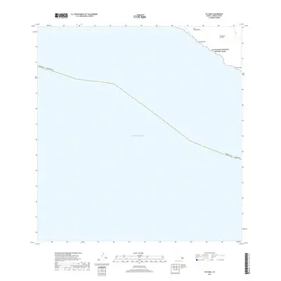
2017 Map of Puu Kahakahakea
USGS Topo · Published 2017About this map
Ala Kahakai National Historic Trail traces the shoreline of the Pacific Ocean in this coastal survey of the southern Big Island. The landscape is defined by the massive Lava Flow of 1887, which stretches across the northeastern corner of the map toward the sea. This geological feature illustrates the recent volcanic activity that continues to shape the region. The map captures several traditional landmarks along the coast, including Puu Kahakahakea, Kahakahakea, and Kaimu'uala. Most of the area remains undeveloped, with the terrain dominated by these recent lava fields and the rocky coastline. The proximity of the historic trail to the 19th-century flow highlights the intersection of ancient pathways and the island's evolving geology.
Find a feature on this map
9 named features on this map. Tap any name to fly to it.
Don’t see what you’re looking for? This feature index may not catch every label — zoom into the map to look around manually.
Map Details
Editions of this 2017 Puu Kahakahakea Map
This is the sole edition of this map. No revisions or reprints were ever made.
Other maps of this area

1924 · Kalae
USGS Topo · 1:62,500

1924 · Honuapo
USGS Topo · 1:62,500

1928 · Hoopuloa
USGS Topo · 1:62,500

1954 · Hawaii South
USGS Topo · 1:250,000

1959 · Hawaii South
USGS Topo · 1:250,000

1961 · Hawaii South
USGS Topo · 1:250,000

1962 · Hawaii South
USGS Topo · 1:250,000

1962 · Puu Hou
USGS Topo · 1:24,000

1962 · Kahuku Ranch
USGS Topo · 1:24,000
1962 · Manuka Bay
USGS Topo · 1:24,000