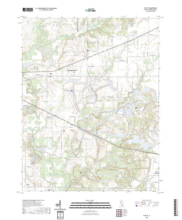
2024 Map of Pyatts
USGS Topo · Published 2024About this map
Pinckneyville serves as a primary geographic anchor in this section of Perry County, surrounded by a network of rural settlements and agricultural corridors. The landscape is defined by the winding paths of Beaucoup Creek and its many tributaries, including Little Beaucoup Creek and White Walnut Creek. These waterways once dictated the placement of early homesteads and cemeteries that dot the countryside today. The area around Denny and the western edge of Du Quoin reveals a high density of local burial sites like Holts Prairie Cem and Nine-Mile Cem, offering significant value for genealogical research. Transportation follows a mix of established routes like W Main St and specialized local connectors, such as 9 Mile Cemetary Rd, which link the town centers to the outlying prairie lands and the central Elks Reservoir.
Find a feature on this map
70 named features on this map. Tap any name to fly to it.
Don’t see what you’re looking for? This feature index may not catch every label — zoom into the map to look around manually.
Map Details
Editions of this 2024 Pyatts Map
This is the sole edition of this map. No revisions or reprints were ever made.
Other maps of this area

1910 · Herrin
USGS Topo · 1:62,500

1910 · Murphysboro
USGS Topo · 1:62,500

1924 · Pinckneyville
USGS Topo · 1:62,500

1926 · Pinckneyville
USGS Topo · 1:62,500

1926 · Duquoin
USGS Topo · 1:62,500

1936 · Herrin
USGS Topo · 1:62,500

1938 · Murphysboro
USGS Topo · 1:62,500

1949 · Paducah
USGS Topo · 1:250,000

1950 · Paducah
USGS Topo · 1:250,000

1954 · Paducah
USGS Topo · 1:250,000