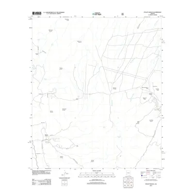
2012 Map of Pyeatt Ranch
USGS Topo · Published 2012About this map
Pyeatt Ranch and several other cattle operations define the landscape of this region during the early twenty-first century, as documented in this 2012 survey. The area is characterized by an extensive network of drainages and named canyons, including the significant Blacktail Wash and Slaughter House Wash. These waterways create a natural corridor that has historically supported ranching life, evidenced by the presence of the Swinging H Ranch, Boss Ranch, and Flying B Ranch.
Find a feature on this map
44 named features on this map. Tap any name to fly to it.
Don’t see what you’re looking for? This feature index may not catch every label — zoom into the map to look around manually.
Map Details
Editions of this 2012 Pyeatt Ranch Map
This is the sole edition of this map. No revisions or reprints were ever made.
Other maps of this area

1904 · Patagonia
USGS Topo · 1:125,000

1905 · Patagonia
USGS Topo · 1:125,000

1905 · Nogales
USGS Topo · 1:125,000

1914 · Hereford
USGS Topo · 1:125,000

1915 · Benson
USGS Topo · 1:125,000

1922 · Sunnyside
USGS Topo · 1:62,500

1932 · Lochiel
USGS Topo · 1:62,500

1932 · Elgin
USGS Topo · 1:62,500

1938 · Huachuca
USGS Topo · 1:62,500

1938 · Sunnyside
USGS Topo · 1:62,500