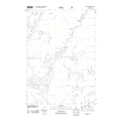
2011 Map of Pyle Creek
USGS Topo · Published 2011About this map
The Middle Fork Payette River serves as the central artery for this mountainous region of Valley County, winding through a landscape defined by deeply cut gulches and timbered ridges. To the southwest, the Terrace Lakes Resort and a network of residential roads like Valley View Heights Dr and Shilo Dr indicate a pocket of recreational development near Warm Springs. The remainder of the terrain is primarily managed for public use, featuring extensive National Forest roads such as Nat For Dev RD 693 and Nat For Dev RD 698.
Find a feature on this map
52 named features on this map. Tap any name to fly to it.
Don’t see what you’re looking for? This feature index may not catch every label — zoom into the map to look around manually.
Map Details
Editions of this 2011 Pyle Creek Map
This is the sole edition of this map. No revisions or reprints were ever made.
Other maps of this area

1894 · Squaw Creek
USGS Topo · 1:125,000

1909 · Garden Valley
USGS Topo · 1:125,000

1953 · Smiths Ferry
USGS Topo · 1:62,500

1953 · Boiling Springs
USGS Topo · 1:62,500

1953 · Banks
USGS Topo · 1:62,500

1955 · Baker
USGS Topo · 1:250,000

1957 · Challis
USGS Topo · 1:250,000

1959 · Baker
USGS Topo · 1:250,000

1959 · Garden Valley
USGS Topo · 1:62,500

1960 · Challis
USGS Topo · 1:250,000