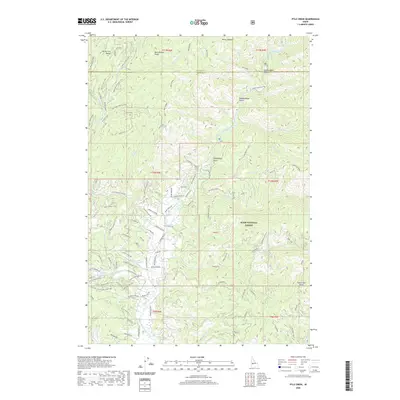
2020 Map of Pyle Creek
USGS Topo · Published 2020About this map
The Middle Fork Payette River winds through the heart of the Boise National Forest, carving a deep drainage basin defined by prominent heights like Bear Wallow Point and Pyle Creek Point. This terrain is characterized by a dense network of seasonal and perennial waterways, including Lightning Creek and Scriver Creek, which feed the river from high ridges. The map reveals the intricate infrastructure of the timber and recreation economy, marked by an extensive system of forest roads such as Bear Wallow Point Rd and Main Scriver Loop.
Find a feature on this map
111 named features on this map. Tap any name to fly to it.
Don’t see what you’re looking for? This feature index may not catch every label — zoom into the map to look around manually.
Map Details
Editions of this 2020 Pyle Creek Map
This is the sole edition of this map. No revisions or reprints were ever made.
Other maps of this area

1894 · Squaw Creek
USGS Topo · 1:125,000

1909 · Garden Valley
USGS Topo · 1:125,000

1953 · Smiths Ferry
USGS Topo · 1:62,500

1953 · Boiling Springs
USGS Topo · 1:62,500

1953 · Banks
USGS Topo · 1:62,500

1955 · Baker
USGS Topo · 1:250,000

1957 · Challis
USGS Topo · 1:250,000

1959 · Baker
USGS Topo · 1:250,000

1959 · Garden Valley
USGS Topo · 1:62,500

1960 · Challis
USGS Topo · 1:250,000