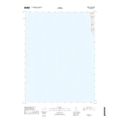
2018 Map of Pyramid SE
USGS Topo · Published 2018About this map
Pyramid Lake dominates this 2018 topographic survey, covering nearly the entire expanse of the map with its deep blue waters. The eastern shoreline is defined by the steep slopes of the Lake Range, where the terrain rises sharply from the water's edge. This specialized view of the Great Basin interior highlights the isolation of the shoreline and the sheer scale of the desert lake. Named landforms along the thin strip of accessible eastern coast include Howitzer Slide and Blizzard Camp Point, suggesting a history of challenging passage and rugged seasonal conditions in this part of Washoe County. The map provides an essential look at the physical boundary between the water and the high desert ridges during the early 21st century.
Find a feature on this map
5 named features on this map. Tap any name to fly to it.
Don’t see what you’re looking for? This feature index may not catch every label — zoom into the map to look around manually.
Map Details
Editions of this 2018 Pyramid SE Map
This is the sole edition of this map. No revisions or reprints were ever made.
Other maps of this area

1886 · Granite Range
USGS Topo · 1:250,000

1890 · Wadsworth
USGS Topo · 1:125,000

1891 · Reno
USGS Topo · 1:125,000

1892 · Wadsworth
USGS Topo · 1:125,000

1893 · Reno
USGS Topo · 1:125,000

1894 · Granite Range
USGS Topo · 1:250,000

1894 · Wadsworth
USGS Topo · 1:125,000

1955 · Lovelock
USGS Topo · 1:250,000

1957 · Sutcliffe
USGS Topo · 1:62,500

1957 · Nixon
USGS Topo · 1:62,500