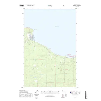
2020 Map of Pysht
USGS Topo · Published 2020About this map
Pysht sits at the convergence of the Pysht River and the Salish Sea, serving as the primary coastal landmark in this corner of Clallam County. This modern survey illustrates the intricate drainage systems that feed the northern shore, including Indian Cr, Butler Cr, and the sprawling forks of Deep Cr. The terrain is defined by the steep elevation changes rising from the shoreline toward the Olympic National Forest in the south, with notable coastal features like Pillar Point and Tree Bluff marking the maritime boundary.
Find a feature on this map
23 named features on this map. Tap any name to fly to it.
Don’t see what you’re looking for? This feature index may not catch every label — zoom into the map to look around manually.
Map Details
Editions of this 2020 Pysht Map
This is the sole edition of this map. No revisions or reprints were ever made.
Other maps of this area

1918 · Lake Crescent
USGS Topo · 1:62,500

1922 · Pysht
USGS Topo · 1:62,500

1922 · Lake Crescent
USGS Topo · 1:62,500

1942 · Pysht
USGS Topo · 1:62,500

1950 · Mount Muller
USGS Topo · 1:24,000

1950 · Twin Rivers
USGS Topo · 1:24,000
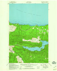
1950 · Lake Crescent
USGS Topo · 1:62,500

1953 · Cape Flattery
USGS Topo · 1:250,000
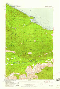
1957 · Pysht
USGS Topo · 1:62,500

1957 · Victoria
USGS Topo · 1:250,000