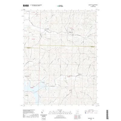
2019 Map of Quaker City
USGS Topo · Published 2019About this map
Quaker City and Salesville anchor the northern landscape of this Guernsey and Noble County borderland. The terrain is defined by the winding course of Leatherwood Cr and the prominent B & O Railroad Pond, reflecting the historical influence of rail infrastructure on these Appalachian foothills. To the south, the waters of Senecaville Lake reach into the quadrangle near the settlement of Lakeland, while Beaver Cr and Yoker Cr carve through deep valleys like Yoker Valley. This map is particularly valuable for genealogical research, documenting numerous rural burial sites including Greenlawn Cem, Friends Cem, and Saint Johns Cem. The intricate network of township roads and county highways connects these small communities and isolated homesteads, preserving the layout of a region shaped by agricultural traditions and the geography of the Muskingum River watershed.
Find a feature on this map
90 named features on this map. Tap any name to fly to it.
Don’t see what you’re looking for? This feature index may not catch every label — zoom into the map to look around manually.
Map Details
Editions of this 2019 Quaker City Map
This is the sole edition of this map. No revisions or reprints were ever made.
Other maps of this area

1903 · Flushing
USGS Topo · 1:62,500

1905 · Woodsfield
USGS Topo · 1:62,500

1905 · Flushing
USGS Topo · 1:62,500

1909 · Antrim
USGS Topo · 1:48,000

1909 · Summerfield
USGS Topo · 1:62,500

1911 · Antrim
USGS Topo · 1:62,500

1911 · Summerfield
USGS Topo · 1:62,500

1949 · Clarksburg
USGS Topo · 1:250,000

1951 · Canton
USGS Topo · 1:250,000

1953 · Canton
USGS Topo · 1:250,000