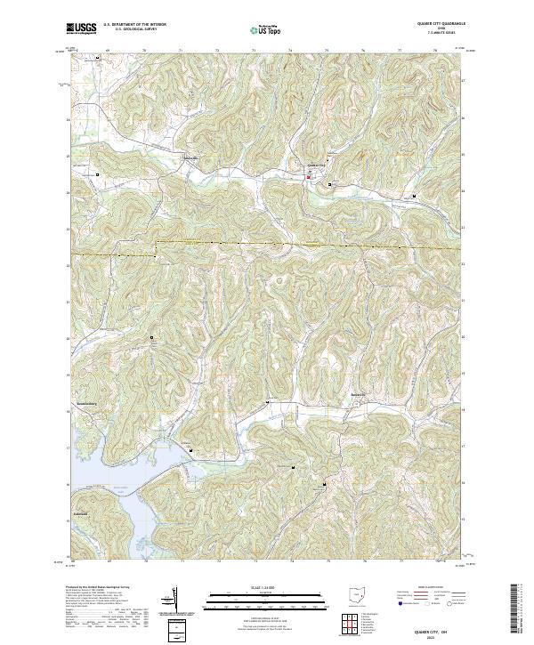
2023 Map of Quaker City
USGS Topo · Published 2023About this map
Salesville, Quaker City, and Batesville anchor this corner of southeast Ohio, where the landscape is defined by the headwaters of Leatherwood Creek and the expansive reach of Senecaville Lake. The map reveals a high density of rural burial sites, including the Friends Cem and Saint Johns Cem, which speak to the area's deep Quaker and pioneer heritage. These family and community landmarks are linked by a network of winding township roads that follow the ridges and valleys between Shannon Run and Beaver Creek.
Find a feature on this map
60 named features on this map. Tap any name to fly to it.
Don’t see what you’re looking for? This feature index may not catch every label — zoom into the map to look around manually.
Map Details
Editions of this 2023 Quaker City Map
This is the sole edition of this map. No revisions or reprints were ever made.
Other maps of this area

1903 · Flushing
USGS Topo · 1:62,500

1905 · Woodsfield
USGS Topo · 1:62,500

1905 · Flushing
USGS Topo · 1:62,500

1909 · Antrim
USGS Topo · 1:48,000

1909 · Summerfield
USGS Topo · 1:62,500

1911 · Antrim
USGS Topo · 1:62,500

1911 · Summerfield
USGS Topo · 1:62,500

1949 · Clarksburg
USGS Topo · 1:250,000

1951 · Canton
USGS Topo · 1:250,000

1953 · Canton
USGS Topo · 1:250,000