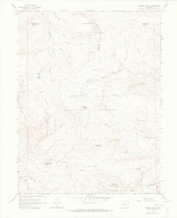
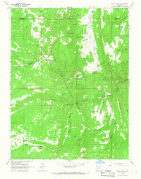
1963 Map of Quaker Mesa
USGS Topo · Published 1967About this map
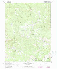
White River National Forest and Gunnison National Forest meet in this high-elevation mountain landscape, where the headwaters of numerous creeks carve through the terrain. The topography is defined by significant landmarks such as Flat Top Mountain, Haystack Mountain, and the broad expanse of Quaker Mesa. A complex network of drainage systems, including East Divide Creek and North Baylor Park Thompson Creek, reveals the natural irrigation patterns of the region.
Find a feature on this map
57 named features on this map. Tap any name to fly to it.
Don’t see what you’re looking for? This feature index may not catch every label — zoom into the map to look around manually.
Map Details
Editions of this 1963 Quaker Mesa Map
5 editions found
Other maps of this area

1957 · Leadville
USGS Topo · 1:250,000

1959 · Leadville
USGS Topo · 1:250,000

1960 · Leadville
USGS Topo · 1:250,000

1961 · Cattle Creek
USGS Topo · 1:24,000

1961 · Spruce Mountain
USGS Topo · 1:24,000

1962 · Leadville
USGS Topo · 1:250,000
1963 · Flatiron Mountain
USGS Topo · 1:24,000
1963 · Center Mountain
USGS Topo · 1:24,000
1963 · Placita
USGS Topo · 1:24,000
1963 · Stony Ridge
USGS Topo · 1:24,000