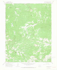
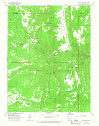
1963 Map of Quaker Mesa
USGS Topo · Published 1967About this map
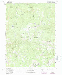
Quaker Mesa dominates this high-altitude landscape along the boundaries of Mesa, Garfield, Pitkin, and Gunnison counties. In the early 1960s, the area remained largely inaccessible, defined by a complex network of drainages such as West Divide Creek and Thompson Creek that cut through the White River National Forest. The presence of a Pipeline and several identified Gas Wells and Drill Holes indicates active energy exploration during this period, even in these high reaches. Local landmarks like Haystack Mountain and Twin Peaks serve as significant orientation points for the Jeep Trails and the Clear Creek Pack Trail that provided the only passage through Miner Basin and across the Indefinite Boundary.
Find a feature on this map
49 named features on this map. Tap any name to fly to it.
Don’t see what you’re looking for? This feature index may not catch every label — zoom into the map to look around manually.
Map Details
Editions of this 1963 Quaker Mesa Map
5 editions found
Other maps of this area

1957 · Leadville
USGS Topo · 1:250,000

1959 · Leadville
USGS Topo · 1:250,000

1960 · Leadville
USGS Topo · 1:250,000

1961 · Cattle Creek
USGS Topo · 1:24,000

1961 · Spruce Mountain
USGS Topo · 1:24,000

1962 · Leadville
USGS Topo · 1:250,000
1963 · Flatiron Mountain
USGS Topo · 1:24,000
1963 · Center Mountain
USGS Topo · 1:24,000
1963 · Placita
USGS Topo · 1:24,000
1963 · Stony Ridge
USGS Topo · 1:24,000