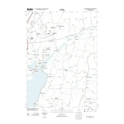
2013 Map of Quaker Springs
USGS Topo · Published 2013About this map
Saratoga Lake and its eastern shores dominate this 2013 survey, which traces the transition from the lakeside developments of Regatta View and Waters Edge to the rural dairy lands of Saratoga County. The map is particularly rich in military history, marking several significant sites associated with the Revolutionary War battlefields, including the Breymann Redoubt Overlook, Balcarres Redoubt Overlook, and Freeman Farm Overlook. These landmarks sit above the Kroma Kill in the southeastern quadrant, reflecting a landscape deeply shaped by its historical significance.
Find a feature on this map
170 named features on this map. Tap any name to fly to it.
Don’t see what you’re looking for? This feature index may not catch every label — zoom into the map to look around manually.
Map Details
Editions of this 2013 Quaker Springs Map
This is the sole edition of this map. No revisions or reprints were ever made.
Other maps of this area

1893 · Cohoes
USGS Topo · 1:62,500

1893 · Schenectady
USGS Topo · 1:62,500

1895 · Cohoes
USGS Topo · 1:62,500

1895 · Schenectady
USGS Topo · 1:62,500

1898 · Schenectady
USGS Topo · 1:62,500

1898 · Cohoes
USGS Topo · 1:62,500

1900 · Schuylerville
USGS Topo · 1:62,500

1902 · Saratoga
USGS Topo · 1:62,500

1929 · Cohoes
USGS Topo · 1:62,500

1930 · Schenectady
USGS Topo · 1:62,500