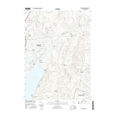
2016 Map of Quaker Springs
USGS Topo · Published 2016About this map
Saratoga Lake dominates the central landscape of this quadrangle, serving as a primary hydrological and cultural focal point. Along its eastern banks, several small hamlets and residential clusters like Cedar Bluffs and Maple Shade are connected by local roads, while the Saratoga Lake Bridge provides a vital crossing point. Further east, the terrain transitions into the cultivated lands and rolling hills surrounding Quaker Springs and Deans Corners, where numerous family-named burial grounds like the Quaker Church Cem and Douw Winney Cem offer significant touchstones for genealogical research.
Find a feature on this map
133 named features on this map. Tap any name to fly to it.
Don’t see what you’re looking for? This feature index may not catch every label — zoom into the map to look around manually.
Map Details
Editions of this 2016 Quaker Springs Map
This is the sole edition of this map. No revisions or reprints were ever made.
Other maps of this area

1893 · Cohoes
USGS Topo · 1:62,500

1893 · Schenectady
USGS Topo · 1:62,500

1895 · Cohoes
USGS Topo · 1:62,500

1895 · Schenectady
USGS Topo · 1:62,500

1898 · Schenectady
USGS Topo · 1:62,500

1898 · Cohoes
USGS Topo · 1:62,500

1900 · Schuylerville
USGS Topo · 1:62,500

1902 · Saratoga
USGS Topo · 1:62,500

1929 · Cohoes
USGS Topo · 1:62,500

1930 · Schenectady
USGS Topo · 1:62,500